Hiking

Medium

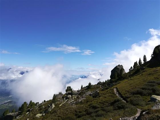
Von der Tulfeinalm auf den Schartenkogel

Hiking route

4,25 km

02:00 h

273 hm

2309 m

Best Time of Year

Jan

Feb

Mar

Apr

May

Jun

Jul

Aug

Sep

Oct

Nov

Dec

Features & Properties

Stamina

Experience

Landscape

Map & Elevation Profile

Arrival

Tulfes - Glungezerbahn

Similar Tour Suggestions

Piepmatzweg

Easy

Running

Nature Trail

2,06 km

01:30 h

301 hm

873 m

Panoramic views at the trail Hinterhornalm - Walderalm

Easy

Hiking

Wurzelschellweg

Medium

Hiking

Hiking route

6,10 km

02:00 h

378 hm

892 m

Stage 6 - Karwendel Höhenweg

Hard

Hiking

Long-Distance Hiking

19,57 km

05:30 h

49 hm

835 hm

1766 m

Rundwanderweg Voldertal

Medium

Hiking

Hiking route

9,65 km

03:30 h

75 hm

707 hm

1561 m

On the trail of Emperor Franz I to the Kaisersäule

Medium

Hiking

Hiking route

11,01 km

04:30 h

884 hm

1702 m

München - Venedig: Von Tulfes zur Glungezer- Hütte

Medium

Hiking

Long-Distance Hiking

15,87 km

05:00 h

1782 hm

99 hm

2606 m

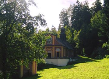
To the healing water of the Maria Larch Chapel

Medium

Hiking

Hiking route

10,15 km

02:30 h

316 hm

832 m

OSZAR »